


z l'endre 01-09-20

cb8310
User


Length
5.6 km

Max alt
96 m

Uphill gradient
75 m
Km-Effort
6.6 km

Min alt
33 m

Downhill gradient
71 m
Boucle
Yes
Creation date :
2020-09-01 12:14:34.942
Updated on :
2020-09-02 07:35:03.259
2h14
Difficulty : Very easy

FREE GPS app for hiking
 SityTrail
IGN / Geographical institutes
SityTrail Plus
The world is yours!
About
Trail Walking of 5.6 km to be discovered at Provence-Alpes-Côte d'Azur, Var, La Motte. This trail is proposed by cb8310.
Description
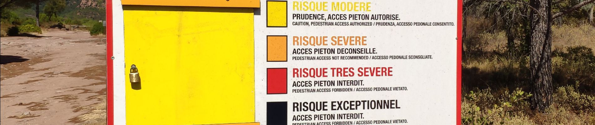
rando très zen mais très peu ombragée
Photos


Positioning
Country:
France
Region :
Provence-Alpes-Côte d'Azur
Department/Province :
Var
Municipality :
La Motte
Location:
Unknown
Start:(Dec)
Start:(UTM)
305196 ; 4819644 (32T) N.
Comments